
1955 — Your First Visit to Disneyland
Early Disneyland guide map featuring the green logo design.
View Cover Image → View Full Map Scan →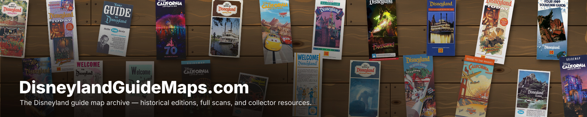
Disneyland Resort's Ultimate Guide Map Database
Early Disneyland guide map featuring the green logo design.
View Cover Image → View Full Map Scan →
Early guide map associated with Bank of America.
View Cover Image → View Full Map Scan →
Welcome to Disneyland, featuring Tinkerbell above Sleeping Beauty Castle.
View Cover Image → View Full Map Scan →
A second 1956 edition of the early Welcome to Disneyland guide map.
View Cover Image → View Full Map Scan →
A third 1956 edition in the early Welcome to Disneyland series.
View Cover Image → View Full Map Scan →
Early guide map with the familiar Tinkerbell and castle artwork.
View Cover Image → View Full Map Scan →
An orange guide map highlighting Disneyland's five lands.
View Cover Image → View Full Map Scan →
A blue guide map edition featuring Tanner Lines.
View Cover Image → View Full Map Scan →
A blue Welcome to Disneyland guide map from 1960.
View Cover Image → View Full Map Scan →

An orange guide map edition from 1962.
View Cover Image → View Full Map Scan →

A green Disneyland guide map from 1964.
View Cover Image → View Full Map Scan →
A guide map featuring the 1965 logo and a blue-and-orange design.
View Cover Image → View Full Map Scan →